![]()
|
|
|
|
|
|
Event Summary
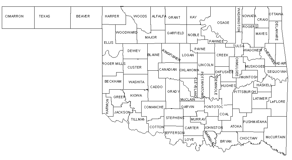
On April 2, 1994, severe storms began to form along a dryline in Central Oklahoma. These storms produced two tornadoes, one near Ada and the other near Oilton. Along with the tornadoes, baseball size hail was reported. Although this particular case was not a not large severe weather outbreak, it provides a classic setup for severe weather. This case is also one of the first severe weather outbreaks observed by the Oklahoma Mesonet. |
Objectives
|
|
|
|
|
|
OK-FIRST Project, Oklahoma Climatological Survey, 100 East Boyd, Suite 1210, Norman, OK 73019. Copyright © 1996-2005 Oklahoma Climatological Survey. All Rights Reserved. Send comments or questions concerning OK-FIRST to okfirst@mesonet.org. |