![]()
|
|
|
|

|
|
Event Summary
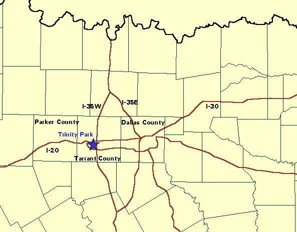
There were 19 weather related deaths associated with the intense thunderstorms in the Dallas-Fort Worth Metroplex on the evening of May 5, 1995. Sixteen of those deaths were flash flood related, the other three from lightning. Tornado and flash flood warnings were in effect at the same time. The final rainfall amounts were not very impressive by Texas standards. The intensity of the precipitation and the hydrological response of the urbanized environment contributed greatly to this deadly flash flood event. Rainfall up to 4.75 inches were reported in Dallas, but rainfall rates for short periods approached 10 inches per hour. Along with the heavy rains, large hail and strong winds caused injuries or damage. There were numerous reports of hail, with some reports of hail up to four inches in diameter. The large hail had caused hundreds of injuries. Wind gusts were also the cause of some structural damage in the Dallas-Fort Worth area. |
Objectives
|
|
|
|
Conclusions
1. This event had the synoptic scale appearance of a severe weather outbreak with relatively fast moving storms. However, the strong digging trough into a negatively tilted ridge in the upper levels, and a very notable transport of moisture northward in the lower levels suggested the potential for heavy precipitation. 2. Large scale jet dynamics (divergence/difluence over Texas) supported upward motion. In the low levels, surface boundaries associated with a warm front and a mesohigh became a focus of low level convergence and enhanced upward motion. This was especially true of the east-west warm frontal boundary that was roughly perpendicular to the 850 mb flow. Such a configuration could lead to a favored generation point. 3. By the beginning of the event, conditions suggested enhanced duration was possible where the low level flow intersected surface boundaries. 4. But intensity and hydrologic character were more important in this event. Although large amounts of hail were occurring throughout much of the storm history, the storm complex transformed into a more intense rainstorm in Dallas. This evolution can be seen in the change in character on radar from a slightly less intense comma-shaped echo area. Tremendous amounts of low level moisture transport and upward motion may have increased the height of the freezing level and provided for a deeper warm cloud layer and thus more efficient precipitation development. 5. Finally, the hydrologic response in urbanized areas was very rapid due to impermeable surfaces and constricted waterways. 6. A second heavy accumulation band was noted to the south where the rainfall duration was lengthened because the echoes were moving parallel to the upper flow. However, without the intensity and urban runoff characteristics, serious flooding did not occur there. |
|
|
|
|
OK-FIRST Project, Oklahoma Climatological Survey, 100 East Boyd Street, Suite 1210, Norman, OK 73019. Copyright © 1996-2005 Oklahoma Climatological Survey. All Rights Reserved. Send comments or questions concerning OK-FIRST to okfirst@mesonet.org |